

AERIAL DRONE MEDIA · NORTHERN ILLINOIS
Give buyers the bigger picture with aerial drone photography.
Help viewers understand a property’s setting with aerial drone photography for Northern Illinois real estate.
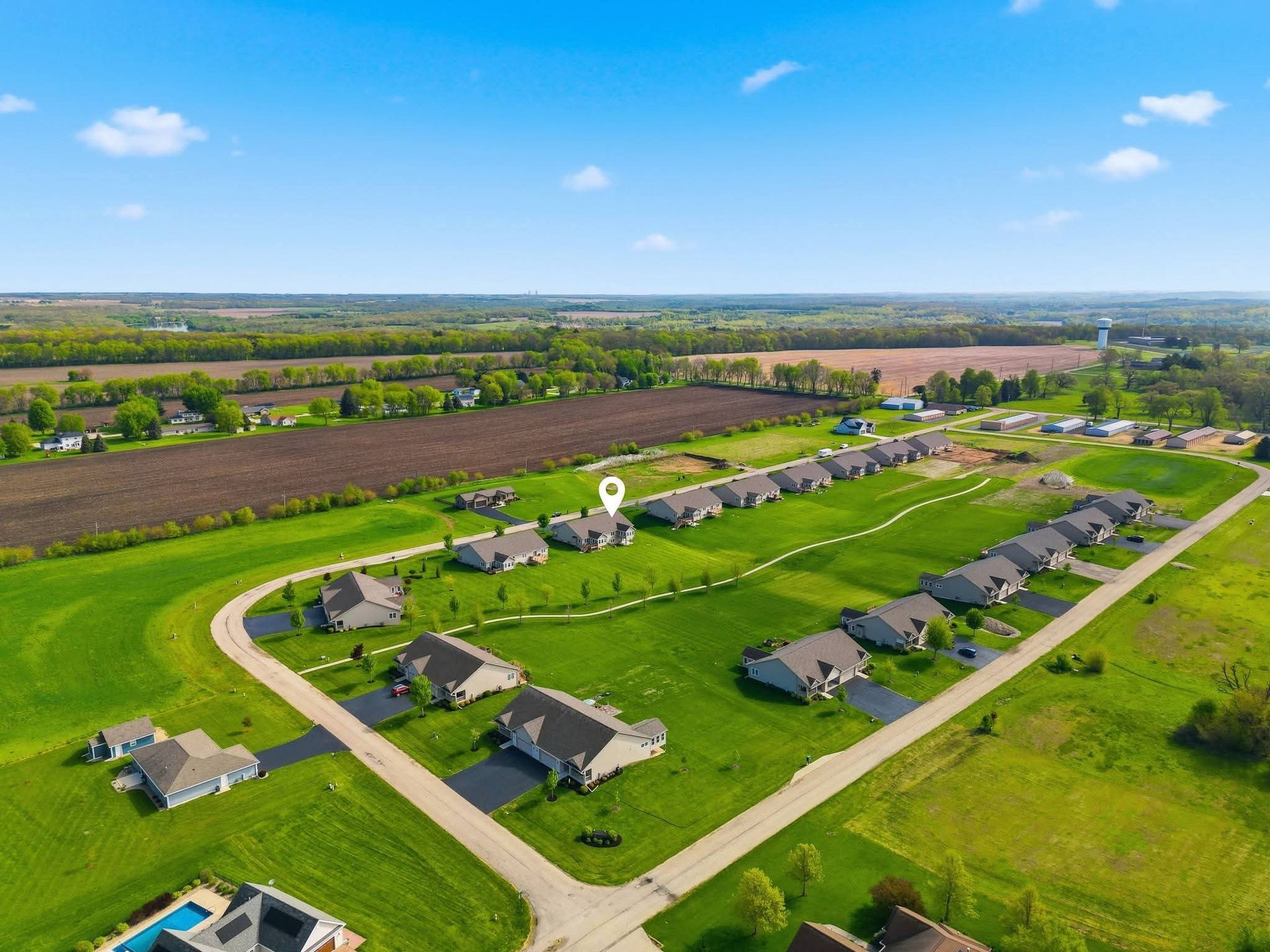
The surroundings are part of the story.
Ground-level images introduce a building. Aerial drone photographs add context: the relationship to nearby streets, the outdoor space around the home, and the setting beyond the front door. That perspective can be especially useful for properties with land, outbuildings, or distinctive surroundings.
Pair aerial drone imagery with interior and exterior photography to give prospective buyers a more complete view. Tell us about the features you want emphasized when placing your order so we can plan the requested coverage.
- Views of the property and its surrounding setting.
- A clearer sense of outdoor amenities and building placement.
- A useful complement to ground-level listing photos.
- Coverage planned around the property and flying conditions.
Aerial drone photography near your listing
Book aerial drone photography for properties in Dixon, Rockford, DeKalb, Freeport, Belvidere, and Sterling. We also serve Loves Park, Sycamore, Rochelle, Oregon, Rock Falls, and Clinton, Iowa. Add the property address when scheduling so we can assess the location, airspace, and requested coverage; flights depend on safe conditions.
GOOD TO KNOW
About aerial drone photography.
Can aerial drone photos show property boundaries?
Images can show the setting and visible features, but they are not a survey or a verification of property lines.
What happens if weather affects drone photography?
Contact us to discuss the shoot conditions and the next available option for the requested coverage.
BUILD YOUR LISTING MEDIA
See the other options.
YOUR NEXT LISTING STARTS HERE